Where
- Google Maps: for driving directions to the parking lot
- Google Maps: From the parking lot to the cabin
- Google Maps: Winter Time
- Apps and digital maps of the plateau
- Map for printing
- GPS coordinates
- Public transportation
- Snow depth and ski tracks
Google Maps: for driving directions to the parking lot
The easiest way is to enter174 Bjørnerudsæterveienenter it into your car's GPS and hit the road. This is the address of the cabin located next to the parking lot. You can also take a look at thisthe custom map for Google Mapsto view points of interest with photos from the surrounding area.
Google Maps: From the parking lot to the cabin
I have now (November 2021) uploaded the walking route (GPS track) from the parking lot to the cabin. It is the easiest route to take and matches the one shown on the map“Walking Path”below. It’s easy to follow, but bring a headlamp if you’re running late; people tend to wander too far east when they’re chatting and having a good time :)
Google Maps: Winter Time
Ski to the cabin from Skalland or Tempelseter, as well as take trips in the surrounding area. You can also download these offline for use with an app. JustFollow the link, tap the three dots to open the menu and select “Download as KML”. Works with many popular map apps, such asMap of Norway: Outdoor Activities, e.g., that way you don't need an internet connection.
Apps and digital maps of the plateau
Norgeskart Friluftsliv is by far the best map app for the mountains.Apple/iOSandAndroid. The cabin's coordinates are listed at the bottom of the page.
If you just want to check out the area beforehand, there isinteractive topographic mapfrom Norgeskart.no—the best.
KMZ/KML files for map apps
- Walking path in summer [Kiss my ass,KML]. Export from Google Maps
Map for printing
The mountain region
I have created a special map of the Haglebu-Eggedal-Tempelseter-Høgevarde area. You can download it viathis link(Note: Large file, 40 MB).
Walkway
GPS coordinates
The coordinates of the cabin are
EU89, lat/long
- NORTH
- 60,2973°
- EAST
- 9,3493°
EU89, UTM Zone 33
- NORTH
- 6697905,65
- EAST
- 187916,09
Public transportation
It’s perfectly possible to get to the cabin, but it takes longer, and you’ll probably need to adjust the length of your stay to match the bus schedule. The most common option is to take a taxi from Eggedal and up, but you can also choose to hike the 5–6 km up to Åssetra (a nice hike—about 2 hours). That’s how my father got there back in the 1950s :-)
The best-case scenario (departing from Oslo) takes 3 hours (only 45 minutes longer than by car):
- Oslo–Drammen–Åmot–Eggedal, 2 hours 44 minutes (bus–bus–bus)
- Eggedal town center – parking lot, 15 min (by taxi)
- Oslo-Eggedal without a car (EnTur)
- Oslo-Eggedal without a car (Google Maps)
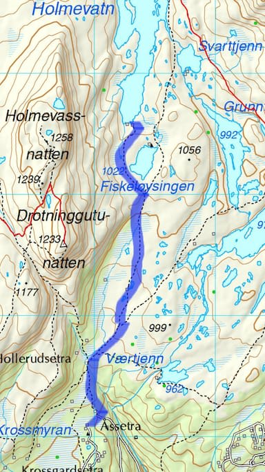
- Map for hikers, from Eggedal Church to Åssetra.
July 2025
- The bus runs only Monday through Friday
- Departure from Oslo at either 9:00 a.m. or 2:00 p.m.
- 3:01 travel time to Eggedal Center
- 300 kr
- The return trip from Eggedal departs either at 7:20 a.m. or 1:20 p.m. (travel time is the same)
- Children under six travel for free (plus 114 kroner)